Log in
All resources
Create a design
2,357 Free Images of Relief Map
pages with maps
cc-zero
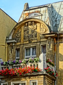
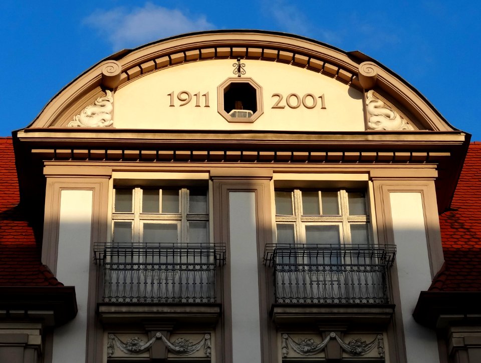
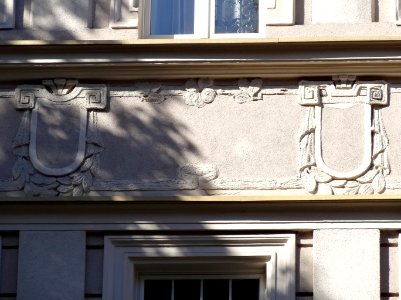
architecture
facade
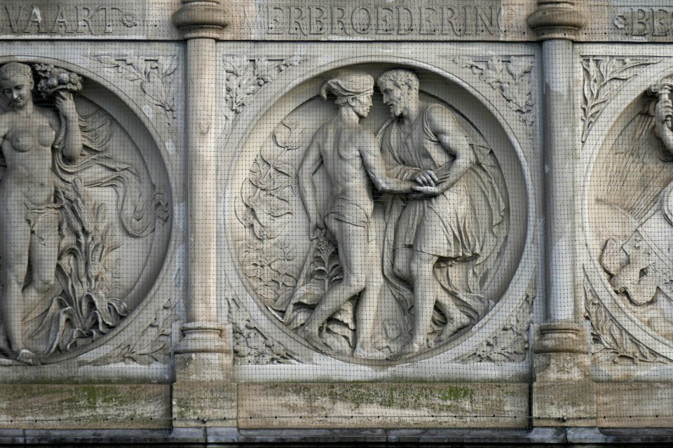
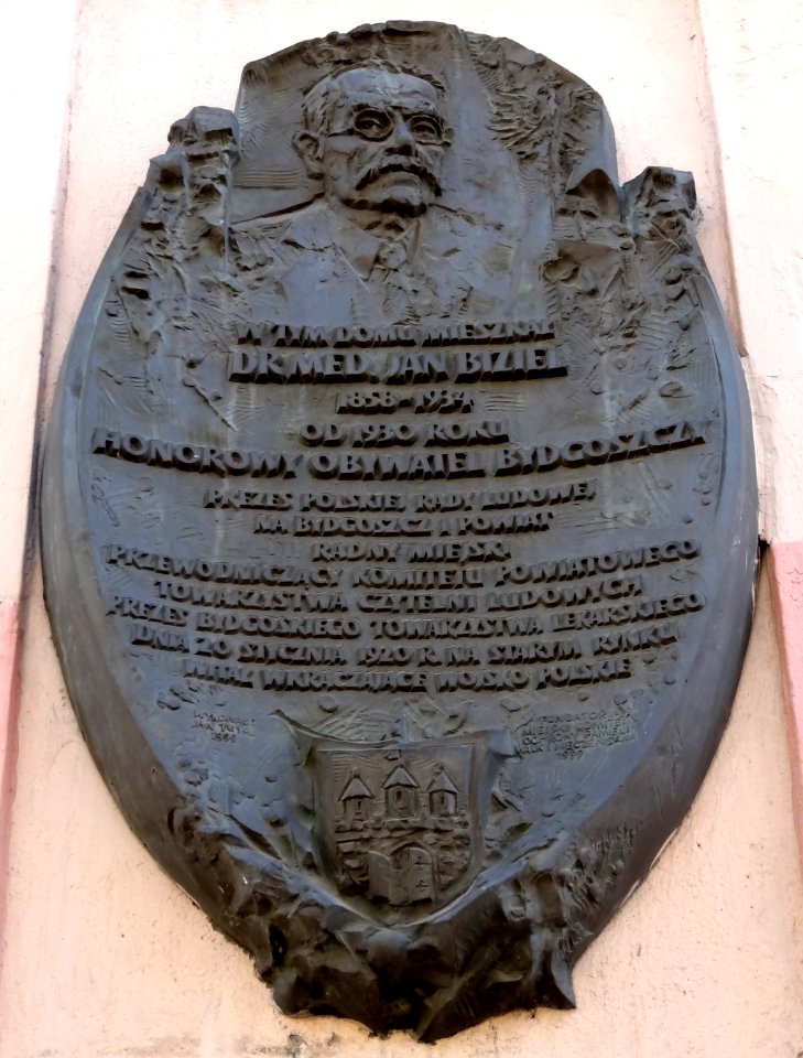
art nouveau reliefs in bydgoszcz
2013 in bydgoszcz
rijksmonumenten with known ids
items with otrs permission confirmed
files with permissionticket template but without p6305 sdc statement
reliefs in bydgoszcz
self-published work
architecture
self-published work
facade
self-published work
architecture
architecture
facade
self-published work
architecture
architecture
facade
architecture
facade
architecture
facade
self-published work
pages with maps
self-published work
architecture
self-published work
pages with maps
self-published work
pages with maps
2010 staten island photos by jim.henderson
pages with maps
pages with maps
red
self-published work
gold
self-published work
architecture
travel photography
pages with maps
nature
plants
architecture
interior
self-published work
architecture
architecture
facade
self-published work
pages with maps
architecture
town
self-published work
relief
self-published work
architecture
self-published work
sidewalk
architecture
facade
self-published work
architecture
architecture
facade
architecture
facade
self-published work
pages with maps
self-published work
pages with maps
self-published work
pages with maps
self-published work
architecture
self-published work
facade
self-published work
architecture
self-published work
pages with maps
self-published work
pages with maps
self-published work
pages with maps
self-published work
pages with maps
sidewalk
facade
landscape
wood
items with otrs permission confirmed
pages with maps
self-published work
pages with maps
items with otrs permission confirmed
pages with maps
architecture
facade
nature
plants
self-published work
pages with maps
self-published work
architecture
self-published work
pages with maps
self-published work
pages with maps
architecture
exterior
self-published work
pages with maps
self-published work
pages with maps
architecture
travel
architecture
sidewalk
self-published work
pages with maps
self-published work
pages with maps
architecture
facade
architecture
facade
architecture
facade
architecture
facade
self-published work
facade
self-published work
pages with maps
self-published work
architecture
travel
city
items with otrs permission confirmed
pages with maps
self-published work
pages with maps
self-published work
pages with maps
interior
symmetry
architecture
city
self-published work
pages with maps
self-published work
pages with maps
self-published work
pages with maps
self-published work
pages with maps
self-published work
pages with maps
self-published work
pages with maps
self-published work
pages with maps
self-published work
architecture
self-published work
architecture
self-published work
pages with maps
self-published work
architecture
self-published work
architecture
self-published work
pages with maps
self-published work
pages with maps
architecture
water
self-published work
relief
self-published work
architecture
orange
red
self-published work
architecture
interior design
interior
self-published work
pages with maps
self-published work
pages with maps
self-published work
pages with maps
self-published work
pages with maps
self-published work
pages with maps
self-published work
architecture
self-published work
architecture
self-published work
architecture
architecture
facade
1301 - 1400 of 2,357
Next page
/ 24